Past landscapes and communities: EngLaId conference, Sept. 2015

On 23 and 24 September 2015, the EngLaId conference ‘Past Landscapes and Communities’ took place at Keble College, Oxford. Researchers from 7 different European countries attended this two-day event, including specialists in later prehistoric, Roman and early medieval archaeology and history as well as GIS and landscape archaeology. This two-day event was structured around the broad themes of ‘identity’, ‘community’ and ‘landscape’, focusing on specific questions such as:

  • How can we model and visualize the use and history of landscapes in the past using multiple/large datasets?
  • How do material culture, spatial distribution, and landscape lead us to understand past identities?
  • Can we explore community identities and histories in the long term (and across disciplinary period boundaries)?
  • How does the situation in England compare to other regions within Europe?

A twitter feed was maintained for the duration of the entire event by the EngLaId team (see http://storify.com/EngLaID_Oxford/past-landscapes-and-communities). In what follows, the conference highlights are summarised on the basis of a series of photographs taken by EngLaId project artist, Miranda Creswell. At the outset, thanks very much to all participants, speakers, chairs, as well as a HUGE thank you to EngLaId’s Laura Morley for organising a seamless event!

Conference delegates enjoying the sunshine outside the lecture theatre
Conference delegates enjoying the sunshine in the picturesque setting of Keble College

Day 1: Wednesday 23 September 2015

At 9 am on Wednesday, EngLaId project PI Chris Gosden started the day off with the bold statement that he has definitively solved the concept of ‘identity’.

Chris Gosden's 'identity-formula'
Chris Gosden’s ‘identity-formula’

This was followed by the first ‘proper’ session of the day, expertly chaired by David Fontijn (Universiteit Leiden, Netherlands).

The first talk was by Alex Smith from the University of Reading, summarising some of the key findings of the Roman Rural Settlement project in his talk Identity in rural Roman Britain. Some of the results of this excellent Big Data project, bringing together rural settlement data from developer-funded excavations with a focus on portable material culture and agricultural practices, are now available on-line at http://archaeologydataservice.ac.uk/archives/view/romangl/.

Alex Smith discussing Roman cows

The first session of the day was concluded by Mads Holst of Aarhus Universitet (Denmark) in a stimulating and beautifully presented talk entitled Collective manifestations in a herding landscape, which focused on agricultural regimes, the impact of barrow construction and settlement patterns in the later prehistoric landscapes of Jutland.

Mads Holst presenting his paper; David Fontijn chairing
Mads Holst presenting his paper; David Fontijn as chair

After a short coffee break, the day resumed with a three-paper session focusing on GIS methodologies, chaired by Roger Thomas of Historic England.

Mark Gillings from the University of Leicester kicked off with a fascinating talk about the little standing stones (and they really are _very_ little) from Exmoor, SW England, exploring the concept of Geosophical Information Systems in his talk Now you see me, now you don’t? Mapping the fugitive & invisible. Extensive processing time led to some interesting invisibility-viewsheds and the conclusion that we need to reconsider the significance of these stone arrangements.

Mark Gillings describing the _very_ little standing stones on Exmoor

After this, team EngLaId presented again, this time a double-act from GIS expert Chris Green and DPhil candidate Victoria Donnelly, entitled Embrace the chaos: structuring affordances and the PPG16 Big Bang. This drew together some of the highlights of their important research into the factors affecting archaeological patterning, such as archaeological investigation patterns and other ‘affordances’ (see previous blogs here and here for Dr Green’s discussion of the concept of ‘affordance’ in this context).

Chris Green and Victoria Donnelly, team EngLaId

The final paper in this session was presented by Philip Verhagen from the Vrije Universiteit Amsterdam (Netherlands), presenting joint research with French colleagues Laure Nunninger & Frédérique Bertoncello. His talk was entitled From static distribution maps to dynamic models of occupation: rethinking spatial analysis of Roman rural settlement in France & the Netherlands, and compared different regions in France and the southern Netherlands.

Philip Verhagen in the flow of his presentation on dynamic settlement models in the Netherlands and France
From left to right: Mark Gillings, Victoria Donnelly, Chris Green, Philip Verhagen and Roger Thomas. In the background: Philip's suggestions for further reading on the subject matter of his excellent talk.
Discussion time. From left to right: Mark Gillings, Victoria Donnelly, Chris Green, Philip Verhagen and Roger Thomas

The discussion that followed made it very clear that this was going to be an excellent if exhausting two days (readily admitted by some of the attendees on the twitter feed!), and we retired for a well-deserved spot of lunch in Keble’s impressively huge dining room.
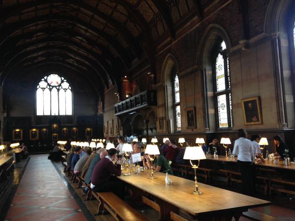
Keble Hall - apparently deliberately designed to be some 10 m longer than Christ Church College Hall..
Keble Hall – apparently deliberately designed to be c. 10 m longer than Christ Church College Hall.. (photograh by Victoria Donnelly)

After lunch, we entered the historical period with a stimulating talk by Grenville Astill from the University of Reading, who questioned existing assumptions about village nucleation and the development of England’s open field system in his talk Medieval fields, farming and villages – the basis of a communal English identity? Taking the bull by the horns, Grenville questioned whether a typical ‘English’ rural identity, focused on the village community, already existed prior to the 12th century AD, or whether the preceding period should be understood as a succession of different identities that eventually crystallised into a more familiar ‘village’ identity. Emphasising the importance of agricultural activity as the basis of human society, Grenville also drew attention to the high number of medieval documented murders that took place in fields in the context of day to day agricultural practices.

Grenvilla Astill on medieval villages and fields
Grenville Astill on medieval villages and fields

This session, which was chaired by Helena Hamerow of the University of Oxford, was followed by Alexandra Chavarría of the Università di Padova (Italy) who, on behalf of herself and Gian Pietro Brogiolo, discussed several impressive large-scale landscape projects carried out in the Colli Eugeni region in northern Italy (see http://www.memolaproject.eu/).

Alexandra Chavarría in the flow of her presentation, with David Fontijn, session chair Helena Hamerow and Chris Gosden on the front row in full attention
Alexandra Chavarría in the flow of her presentation, with David Fontijn, session chair Helena Hamerow, Chris Gosden and Alex Smith on the front row in full attention
Alexandra Chavarría and Grenville Astill during the discussion time

The final session of the day was chaired by Mark Pollard of the University of Oxford. The first paper was a double act by Johanna Hilpert and Karl Peter Wendt of the Universität zu Köln (Germany), who presented their research (together with Andreas Zimmermann) on modelling population densities in the long term in their paper Patterns of demographic change and land use in sedentary societies.

Johanna Hilpert
Johanna Hilpert locating the study area
Karl Peter Wendt discussing their research

This was followed by another German talk, entitled Feeding from dense & sparsely populated surroundings – aspects of Early Iron Age communities in southern Germany. In this excellent presentation, Axel Posluschny of the Deutsches Archäologisches Institut talked about his research reconstructing Iron Age hinterlands around so-called Princely Sites (rather spectacular high-status burials) in the south of Germany.

Axel Posluschny debating
Axel Posluschny explaining GIS technologies to reconstruct hinterlands

The session was concluded by EngLaId DPhils Sarah Mallet and Dan Stansbie, who gave an excellent double talk on their research into food. Their talk, entitled Diet and regionality: the case of the (southern) English landscape 1500 BC – AD 1086, drew together some highlights of their doctoral research into animal bone, pottery and stable isotopes as a way to understand changing food practices in England from later prehistory to the early medieval period.

Dan Stansbie and Sarah Mallet introducing their research
Saeah M
Sarah Mallet explaining the possible reasons behind some unusually high results from the nitrogen analysis
Dan Stansbie, Karl Peter Wendt and Sarah Mallet during the discussion

Although it was late in the day, the discussion that followed was animated, with some critical questions posed (and answered!). A few well-deserved drinks in the Lamb and Flag and a nice conference meal in Keble Hall concluded day 1 of this conference.

Day 2: Thursday 24 September 2015

The second day started off with a session on prehistoric landscapes and time in England and the Netherlands, chaired by Sarah Semple of Durham University. The first talk of the day was given by Harry Fokkens of the Universiteit Leiden (Netherlands). In his talk Searching for the past in the present, Harry charted the passage of time in some complex and well-preserved prehistoric settlement evidence that emerged around a Bronze Age barrow in West Frisia (the Netherlands).

Harry Fokkens discussing complex settlement patterns in West Frisia

The focus on barrows was continued in the talk by EngLaId’s prehistoric specialist Anwen Cooper, who presented her work on barrow relationships/histories/legacies in her presentation English landscapes from the perspective of Bronze Age barrows, 1500 BC – AD 1086. Some interesting visualisations were showcased, resulting from Anwen’s close collaborations with project colleague Chris Green, allowing for a more productive method of visualising and analysing the various spatial and temporal associations between Bronze Age barrows and other archaeological features.

Anwen
Anwen Cooper showing an interesting graph of the rhythm or tempo of different activities taking place at barrows in the East of England through time
Anwen
Anwen Cooper exlaining an innovative visualisation of barrow relationships (to be made available through the EngLaId website)
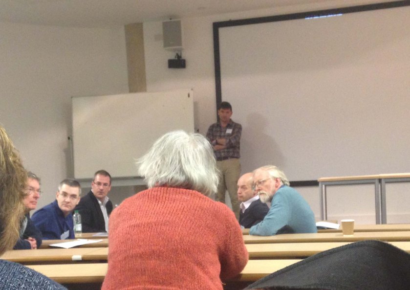
Anwen Cooper, Harry Fokkens and Sarah Semple at question time

After yet another stimulating discussion and a much-needed coffee break, the day continued with a well-structured session focusing on different aspects of community from prehistory to the 11th century AD, chaired by Richard Bradley of the University of Reading. The first speaker of the day was Melanie Giles from the University of Manchester, who presented her work on the Iron Age ladder settlements of East Yorkshire in her talk entitled Making communities; interpreting the late Iron Age ladder settlements of East Yorkshire. Melanie emphasised the practice-based aspects of landscape, and gave the subject matter a very human face by reminding us of the micro-politics of everyday human interactions, including issues of conflict similar to those Grenville Astill had mentioned the previous day.

Melanie Giles in the flow of her presentation

After this, it was back to team EngLaId with a presentation by early medievalist Letty ten Harkel entitled Enclosing space: defining boundaries in England c.1500 BC – AD 1086. Continuing the focus on practice, the aim of this paper was to suggest a holistic and interdisciplinary approach to the concept of enclosure, demonstrating the limitations of relying too heavily on archaeological evidence alone and emphasising the importance of the natural environment as a structuring element.

Letty ten Harkel discussing some graphs

Letty finished her talk with an experiment to map the mass of EngLaId data against the hundred boundaries digitised by Stuart Brookes of University College London in a recent project reconstructing the administrative landscape of later Anglo-Saxon England (http://www.ucl.ac.uk/archaeology/research/projects/assembly). Stuart’s talk Polity & locality: unpicking the hundredal geography of Anglo-Saxon England followed seamlessly with a discussion of the data for these various later early medieval territorial divisions, showing the complex interplay between imposed and more organically developed administrative structures in the English landscape.

Stuart Brookes discussing later Anglo-Saxon England's hundredal geography
Stuart Brookes discussing later Anglo-Saxon England’s hundredal geography

At discussion time, the important question was raised whether spatial proximity implies ‘continuity’ or not, reinforcing a point made earlier during the conference, that we tend to understand ‘space’ much better than ‘time’. Much thinking remains to be done in this respect!

From left to right: Melanie Giles, Letty ten Harkel, Stuart Brookes and Richard Bradley during discussion time

The final part of the day started off with a Spanish session, chaired by Gary Lock of the University of Oxford. Moving a little bit outside of the box, Felipe Criado Boado of the Institute of Heritage Sciences, CSIC (Spain) talked about Archaeologiques of space: linking landscape, materiality, perception and social domination (4000-0 BC).
Showcasing some innovative research about the way in which we look at things, Felipe’s discussion was impressively broad-ranging, covering everything from contemporary fashion to prehistoric pottery.

Felipe C
Felipe Criado Boado explaining the sight experiments carried out on test subjects using different images of prehistoric pots

The second paper in this session was presented by Julio Escalona of the Instituto de Historia, CSIC (Spain). His presentation Not quite the same: settlement and community in early medieval Castile analysed the complex interplay between different local and supra-local communities in early medieval Spain, exploring the concept of Dense Local Knowledge (DLK) as a way to understand community structure.

Julio Escalona presenting his research
Gary Lock leading question time after Julio Escalona's paper
Gary Lock leading question time after Julio Escalona’s paper

The final session of the day was chaired by Zena Kamash of Royal Holloway University (previously EngLaId’s Roman specialist). The first presenter was Dagmar Dreslerová of the Akademie věd České republiky (Czech Republic) who gave a brief overview of landscape archaeology in the Czech Republic, and presented her excellent research (together with Peter Demján) into creating a comprehensive archaeological model for Bohemia, the western half of the Czech Republic.

Dagmar Dreslerová
Dagmar Dreslerová showing the model

The final talk of the day was given by EngLaId’s Roman specialist Tyler Franconi. His talk on Hydrological influence on floodplain settlement in Roman Britain and Germany brough us back to the Roman period, comparing the two river basins of the Thames and the Rhine and the interaction between human and environmental factors.

Tyler Franconi presenting his research
Zena Kamash posing questions of Tyler Franconi during discussion time
Dagmar Dreslerová and Tyler Franconi during the final questions

The day ended with a final discussion by Chris Gosden. Chris admitted that summing up the enormous breadth of ideas and subjects that had been covered was extremely hard, but managed to identify some common ground. Although the papers had traversed different scales, regions and chronologies, the subject matter of pretty much all of them evolved around the relationship between people and the land, emphasising the multi-faceted character of communities.

Chris Gosden summing up

The ensuing discussion brought up many points that the EngLaId team will have to think about in the following year during the preparation of the monograph and other project output. These include the interplay between sharp discontinuities and overall broad continuities; the difficulty of understanding ‘time’; the benefits but also challenges of interdisciplinarity; and the problem of scale.

The final discussion

For updates on how our thoughts develop in this respect, watch this space!

Past Landscapes and Communities: The EngLaID project conference

This is just a short announcement to let people know that we are now able to share details of our project conference. It will be held on 23rd and 24th September at Keble College here in Oxford. The provisional programme for the two days can be found here.

Please contact Laura Morley if you are interested in attending. Places are quite limited, unfortunately, so likely to fill up fast.

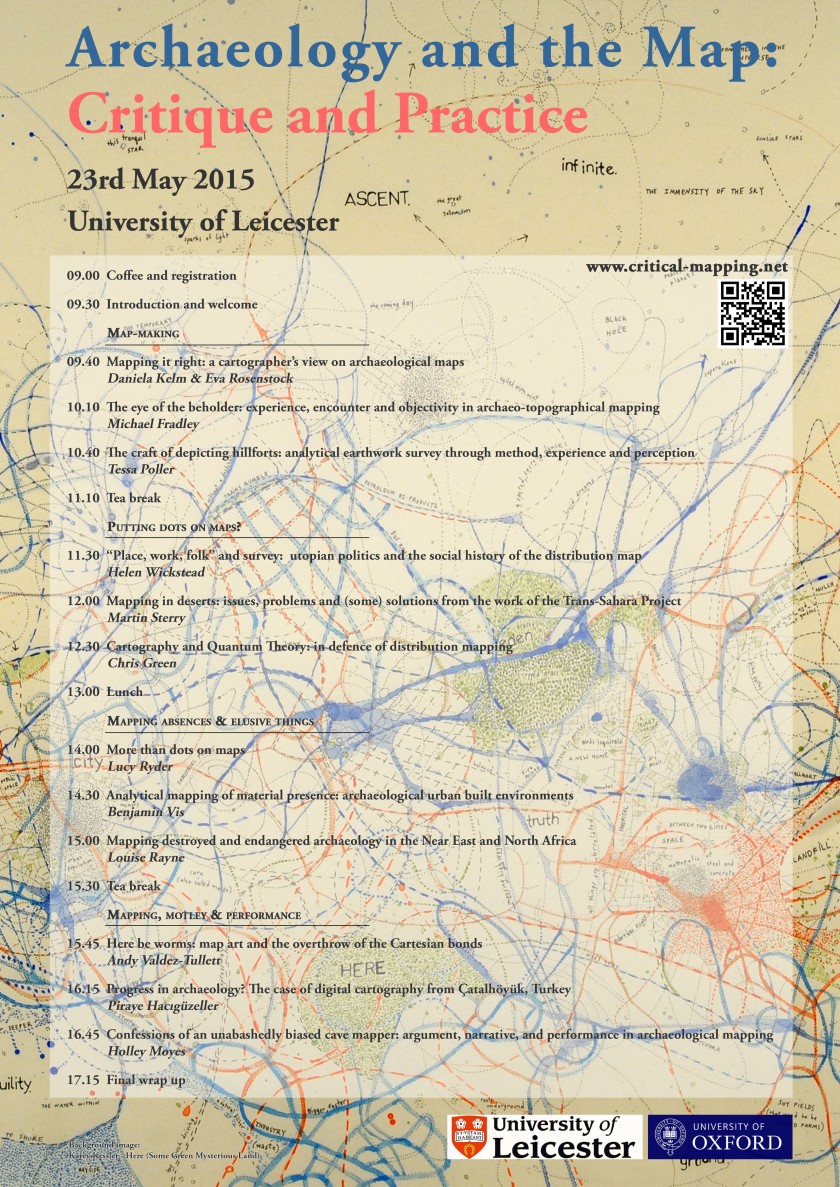
Archaeology and the Map: Critique and Practice

This is just a short advertisement for the forthcoming day conference Archaeology and the Map: Critique and Practice. The conference will take place on 23rd May 2015 at the University of Leicester. EngLaID’s Chris Green will be there, talking about his slightly crazy theories on using Heisenberg’s Uncertainty Principle as a guide to good cartographic practice. The other papers all look even better! The conference will be £6 for students and £10 for others.

arch&map

Sensing the Past

I have just returned from the Sensing the Past conference in Frankfurt on remote sensing in archaeology. It was the final conference for the ArchaeoLandscapes Europe project (ArcLand), which has been running for five years under the directorship of Axel Posluschny of the Roman-Germanic Commission. ArcLand’s main aim was to create a European network between users of remote sensing methods in archaeology and to encourage the wider take-up of and training in said methods. As the conference revealed, in this context remote sensing means a mixture of different non-invasive prospection methods, including LiDAR, geophysics, aerial photography, hyper-spectral imaging, and some satellite imaging.

The conference itself was very engaging intellectually. I was particularly taken with two elements: the work of Michael Doneus and his team on the latest prospection methods (particularly hyper-spectral imaging, which has the potential to be the next great breakthrough); and the work of Kevin Barton with community groups in Ireland, where low-cost aerial imaging has the potential to open up community engagement with archaeology in a country where you need a license to undertake almost any other type of archaeological work. Another fun paper was given by Gabor Bertok which included the successful usage of data collected by GPS-enabled combine harvesters for archaeological prospection (which would be of limited applicability for archaeology, but potentially immensely useful for reconstructing past river channels across wide landscapes)!

Amongst the most useful achievements of ArcLand partners has been the creation of two toolboxes for processing LiDAR data: Ralf Hesse’s LiDAR Visualization Toolbox (LiVT) and Žiga Kokalj’s Relief Visualization Toolbox (RVT). By their own description, RVT is the more user-friendly and LiVT the more customizable when undertaking analyses. I shall certainly be experimenting with them more myself.

In any event, overall the conference was very worthwhile and it is to be hoped that the brilliant work of the ArcLand network continues even as the funding comes to an end.

Chris Green

Medieval Master Chef in Istanbul (Dan Stansbie)

I’ve recently been lucky enough to have enjoyed a trip to Istanbul, along with colleagues from the EngLaId project (https://englaid.wordpress.com) to present a paper at a session comparing eastern cuisine and western food customs (http://www.pomedor.mom.fr/meetings/content/80) in the middle ages at the annual European Association of Archaeologists conference (http://www.eaa2014istanbul.org/site), courtesy of the Meyerstein Fund at the University of Oxford.

The conference itself was an enormous event attracting approximately 3000 archaeologists from all over the world and taking over the buildings of Istanbul Technical University almost entirely. Sessions ranged over every archaeological topic imaginable from the Paleolithic to Heritage Management, and outside of the main business of the conference delegates were treated to a reception in the Istanbul Archaeological Museum and the gardens of Topkapi Palace and a party on a platform at Sirkeci train station.

The session at which I spoke was brilliantly organised by Joanita Vroom, Roos van Oosten (both of Leiden University) and Yona Waksman (of Laboratoire Archéomérie at Archéologie at the University of Lyon). The scope of the session was eating habits and food practices in medieval Europe using different approaches, with a particular focus on linking “cooking revolutions” to changing pottery shapes, food customs, dietary practices and house transformations. The session organisers were very reassuring to the relatively inexperienced PhD students like me, and a succession of useful papers discussing evidence for eating and drinking from a variety of medieval contexts including Islamic Iberia and post-reformation nunneries in Modena ensued. A particular highlight of the session for me was Roos van Oosten’s paper on the relationship of the shape of medieval pots from the Low Countries to other aspects of contemporary material culture, such as types of fuel used and the placement of hearths within buildings.

My own paper was essentially a version of research which I’ve previously blogged about for Food For Thought under ‘”Big Data” and Food in Roman Britain” and so I won’t go into it in detail here; except to say that I focused on changes in eating and drinking from late Roman to early medieval England in order to make the research relevant to the themes of the session. I also used my paper to showcase a new case study using the site of Yarnton in the Upper Thames Valley. In this case study my argument is that changes in domestic architecture at Yarnton from the late Roman to middle Saxon period may be linked to changes in food; specifically that the adoption of halls in the middle Saxon period may reflect a shift to more communally oriented forms of ceramic and therefore more communal eating habits.

Outside of the conference much fun was had by the EngLaId team. We got to know the streets of Istanbul, looked after a cat named Morris, consumed the local street food, including the tremendous fish sandwiches from the boats at Eminonu pier, met up with old friends and attempted (unsuccessfully) to track down the elusive Dr Joy (of Cambridge University) through the bars and back street kebab houses around Taksim Square.

Members of the EngLaId team exploring the Theodosian walls

IMG_7326

CAA 2014, Paris

I just returned from this year’s Computer Applications and Quantitative Methods (CAA) conference, which was held in Paris last week.  Overall, the conference was a great success, despite a number of teething troubles (particularly with IT support [ironically?]).

1622434_639379606132117_4733947181406672037_o

I spoke on the Friday morning about using Heisenberg’s Uncertainty Principle as a metaphor for good cartographic practice.  I’ll try to write more about that at a later time.

10256777_639379412798803_365403414691508152_o

One particularly impressive visualization of data that I saw was Lost Change, which maps PAS coins and their mint locations.  Another very interesting paper I heard was about MicroPasts (another British Museum backed venture), which is designed to allow archaeologists to access crowdsourced labour and crowdfunded funding.  I also enjoyed Philip Verhagen’s paper, as his project is encountering many of the same data rationalization issues as our own (and he only has to work with a single source database, rather than the 70+ that we are trying to combine).

10247238_639798242756920_1798436893331002653_n

There is a storify of the conference tweets here: http://storify.com/EngLaID_Oxford/caa-2014-paris

Next year’s CAA will be in Siena, Italy.  They know how to pick places with good food and good cheer!

Chris Green

(T)RAC – an early medievalist goes Roman

On Saturday 29 March, I went to Reading to attend RAC/TRAC, the jointly organised Roman Archaeology Conference and Theoretical Roman Archaeology Conference. In doing so, I was impersonating my Romanist colleague Zena Kamash, who was scheduled to give a paper, but was actually in Ireland at the wedding of our very own Dan Stansbie..! The first of the wedding guests, Anwen, has since returned to the office, and it sounds like they had a truly great time… congratulations, Dan!

Zena’s paper – entitled ‘Long-term rhythms versus short-term ruptures: Roman rural settlement from a long-term perspective’ – was second in the morning slot of a day-long session (New Approaches to the Romano-British Countryside) in the Henley Business School, organised by our friends from the Roman Grey Literature project run by Cotswold Archaeology and the University of Reading (http://www.cotswoldarchaeology.co.uk/national-roman-grey-literature/). Other speakers in the first session included Neil Holbrook (Cotswold Archaeology/Roman Grey Literature project), who kicked off the proceedings with a summary of the state of play in Roman archaeology in Britain, and Stephen Rippon of the University of Exeter, who concluded the early morning part with a summary of his recently completed Fields of Britannia project.

The Fields of Britannia project (https://humanities.exeter.ac.uk/archaeology/research/projects/title_84580_en.html), which will be published some time next year, investigated changes and continuities in field systems from the Roman into the early medieval periods, a topic that – as an early medievalist – was particularly to my liking. The emerging image seems to be one of overwhelming continuity, which begs the question how relevant ‘traditional’ period divisions are, which is a topic that is of course also hotly debated within the EngLaId project. Interesting in this context too is the fact that Neil Holbrook pointed out that the events of AD 43 – the ‘traditional’ start date of the Roman period – is overall utterly invisible within the stratigraphic sequences in settlement contexts that they have looked at so far.

After the morning coffee break, the next three papers were given by different members of the Roman Grey Literature project, Alex Smith, Tom Brindle and Martyn Allen, talking about different aspects of their work. This gave a good impression of the work they have been doing so far, re-focusing the balance away from the older villa-centred view of the Romano-British countryside through investigation of the huge number of farmsteads that have come to light in the almost-25 years since PPG16. The overall image that was emerging – very much in line with the work that we have been doing in the context of the EngLaId project – is one of significant complexity. To refer to Tom Brindle’s presentation specifically, patterns seem to be affected by a combination of regional, chronological and social factors. This three-fold acknowledgement of what one could call ‘space, time and identity’ has also characterised much of our own recent work, and it is very interesting to see how the different ‘big data’ projects that are currently being undertaken are gradually reaching similar conclusions, despite employing very different methodologies.

Tom Brindle of the Roman Grey Literature project presenting his paper

After a very nice lunch, I decided to leave the New Approaches to the Romano-British Countryside for a bit, and wandered over to a TRAC session on Romans and Barbarians Beyond the Frontiers: Ideology and Identities in the North. The title of this session drew my interest as a result of the work on the case study area of North Northumberland that I have been doing in recent months, which is of course located at some distance to the north of Hadrian’s Wall. Andrew Gardner of UCL gave a most interesting overview paper, discussing frontier theory and issues of identity with reference to Britain’s northern and western frontiers, emphasising the two-way porous nature of frontiers as well as – again – regional differences between different frontier zones. This was followed by two again most interesting papers by Fraser Hunter and Jacqueline Cahill Wilson, who discussed similar issues with reference to Scotland and Ireland respectively.

After the afternoon coffee break, I returned to the New Approaches to the Romano-British Countryside session. Nick Hodgson and Jeffrey Davies gave two interesting papers looking at the north of England and Wales. Of particular relevance to my own work in North Northumberland were some of Nick Hodgson’s arguments. He drew attention to the prevailing image of an indigenous population in northern Britain, living in isolated upland farmsteads, who continued their lifestyle unchanged into the Roman period, and suggested that this view might be caused by a bias towards upland zones and a relative lack of archaeological investigation in lowland regions. However, since the advent of developer-funded archaeology, more and more investigations in lowland zones are now taking place, and it is becoming evident that rural settlement sites of considerable size and complexity also existed in the north of Britain at this time.

Nick Hodgson and Oxford DPhil student Abi Tompkins  listening to the discussion after the afternoon session
Nick Hodgson and Oxford DPhil student Abi Tompkins listening to the discussion after the afternoon session

The afternoon was concluded by a summing-up by discussant Richard Hingley, who was asked to compare the recent state of play to his 1989 book Rural Settlement in Roman Britain. In line with the evidence presented, Hingley stated how much more complex the picture now is than it had been just before PPG16. He furthermore emphasised the importance of contextualising Roman rural settlement evidence with other types of evidence, such as burials, and by reference to more extended chronologies, which is of course exactly what the EngLaId project – amongst other things! – is doing. It sounds like we are on the right track!

Ben Croxford, Stephen Rippon, Neil Holbrook, Alex Smith and Paul Booth listening to the general discussion following Hingley's summing up
Ben Croxford, Stephen Rippon, Neil Holbrook, Alex Smith, Paul Booth and others listening to the general discussion following Hingley’s summing up

After the day’s official proceedings were over, I discovered to my joy that that evening was also the evening of the conference party, held upstairs at Reading’s Global Cafe.

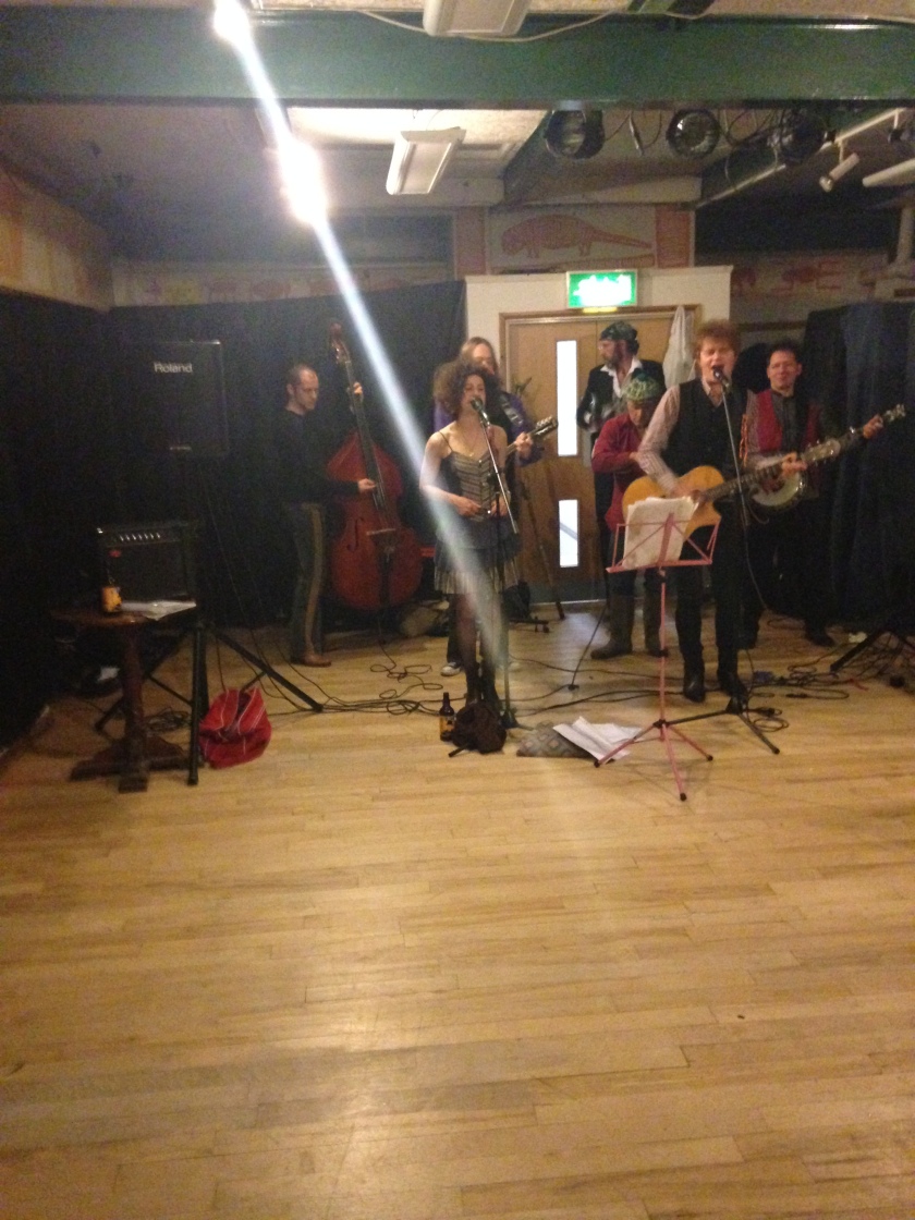
The band at the conference party

There was a truly excellent band, although the dance floor remained fairly empty (at least it was when I left – but who who knows what might have happened afterwards…).

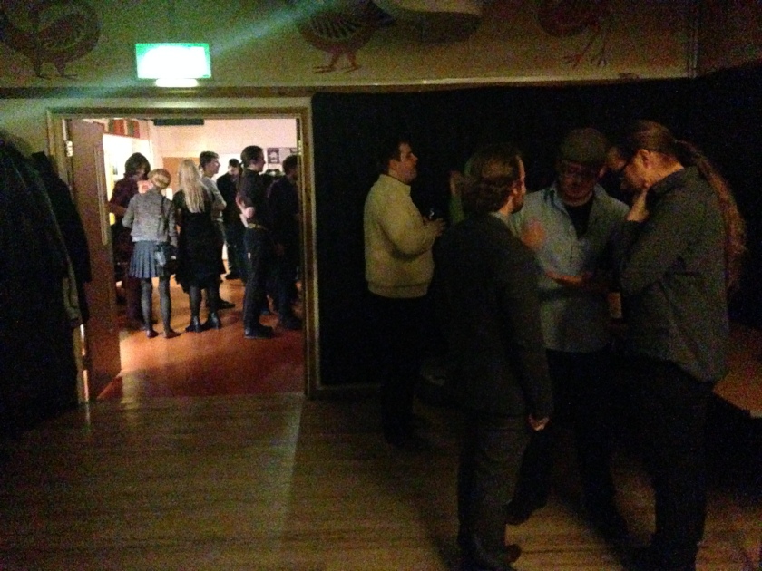
Romanists clustering around the bar

In fact, most of the conference attendees clustered in the room where the bar was located – from which I can only conclude that Roman archaeologists are not that different after all from early medieval ones!

All in all, I had a most excellent day, and regretted not registering for the full duration of the conference. Perhaps next year I will go Roman all the way!

CAA UK 2014

Members of the EngLaID team helped to organise the UK Chapter Meeting of Computer Applications and Quantitative Methods in Archaeology (CAA) this year.  The conference took place in the Pitt Rivers Museum, Oxford, on 21-22 March 2014.  The full conference programme can be found here.

1_GaryLock
Gary Lock welcomes attendees

Following a welcome by Emeritus Professor Gary Lock of Oxford University, who is the current Chairman of CAA International, speakers were heard hailing from a good selection of UK universities and other institutions, including English Heritage and the British Museum.

2_Vicky
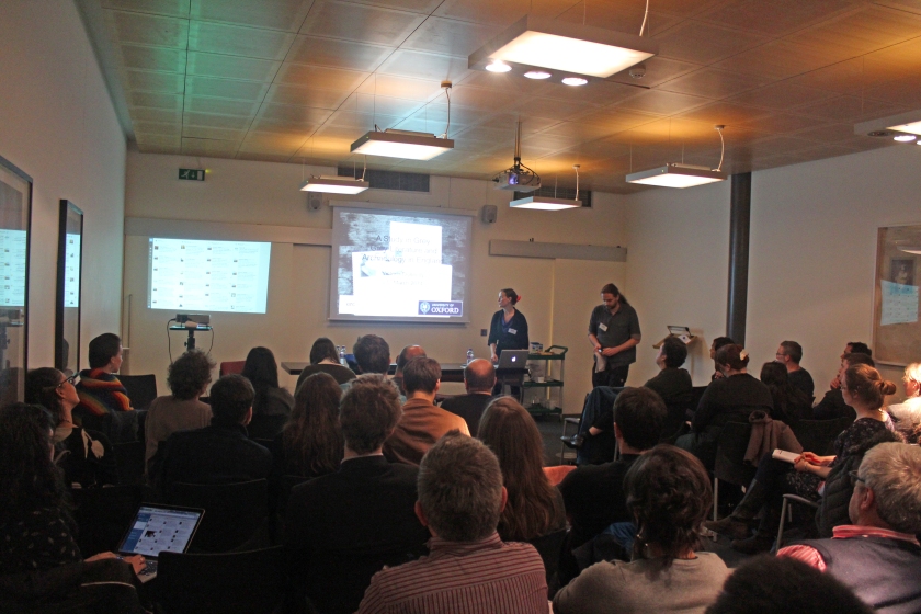
EngLaID team member, Vicky Donnelly, presents her research

Amongst this varied and excellent selection of talks, EngLaID DPhil student, Vicky Donnelly, spoke about her research into the role of grey literature in archaeology and what it can enlighten us on.

3_crowd

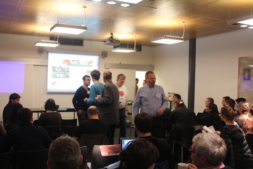
Feedback on the conference was mostly very positive, with some minor complaints about lack of internet access for non-academic attendees.

4_MarkGillings
Mark Gillings presents the keynote lecture

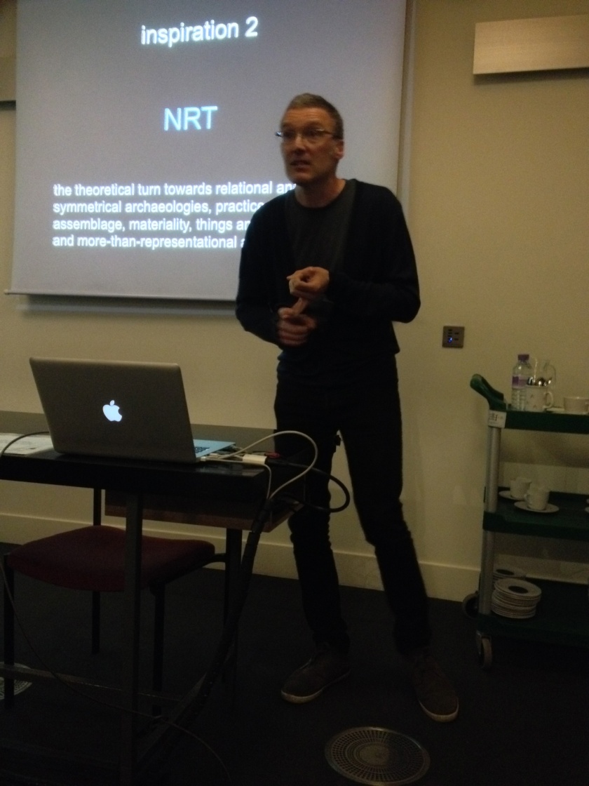
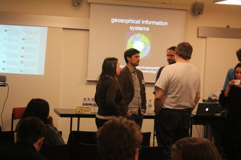
Particularly inspiring was our keynote speaker, Dr Mark Gillings.  Mark is Reader in Archaeology at the University of Leicester and a well known figure in the field of archaeological computing.  He gave an excellent lecture on what he terms “Geosophical Information Systems”, which is (I believe) an attempt to reframe archaeological GIS as a more exploratory technique.  Particular resonant with me were his ideas about “shallow but juicy” GIS experiments.

5_crowd

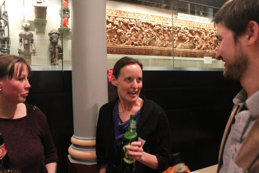
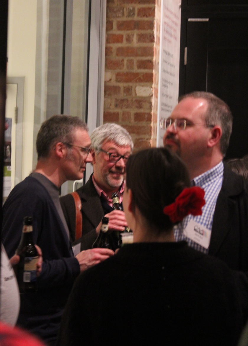
On the Friday evening, a beer reception was held in the Pitt Rivers Museum, which seemed to be thoroughly enjoyed by all who attended.

8_reception 7_reception 6_reception

Amazingly, despite the presence of a large number of archaeologists for two hours, only two-thirds of the beer provided was drunk!  But we made a very good effort.

9_beer
Conference beer ration!

The conference twitter feed can be found here: #caauk14 or storify

Chris Green

CAA UK, 21-22 March 2014

This is just a short announcement to say that the UK chapter meeting of Computer Applications in Archaeology is coming to Oxford in March this year.

Abstract submission is now open here.