(T)RAC – an early medievalist goes Roman

On Saturday 29 March, I went to Reading to attend RAC/TRAC, the jointly organised Roman Archaeology Conference and Theoretical Roman Archaeology Conference. In doing so, I was impersonating my Romanist colleague Zena Kamash, who was scheduled to give a paper, but was actually in Ireland at the wedding of our very own Dan Stansbie..! The first of the wedding guests, Anwen, has since returned to the office, and it sounds like they had a truly great time… congratulations, Dan!

Zena’s paper – entitled ‘Long-term rhythms versus short-term ruptures: Roman rural settlement from a long-term perspective’ – was second in the morning slot of a day-long session (New Approaches to the Romano-British Countryside) in the Henley Business School, organised by our friends from the Roman Grey Literature project run by Cotswold Archaeology and the University of Reading (http://www.cotswoldarchaeology.co.uk/national-roman-grey-literature/). Other speakers in the first session included Neil Holbrook (Cotswold Archaeology/Roman Grey Literature project), who kicked off the proceedings with a summary of the state of play in Roman archaeology in Britain, and Stephen Rippon of the University of Exeter, who concluded the early morning part with a summary of his recently completed Fields of Britannia project.

The Fields of Britannia project (https://humanities.exeter.ac.uk/archaeology/research/projects/title_84580_en.html), which will be published some time next year, investigated changes and continuities in field systems from the Roman into the early medieval periods, a topic that – as an early medievalist – was particularly to my liking. The emerging image seems to be one of overwhelming continuity, which begs the question how relevant ‘traditional’ period divisions are, which is a topic that is of course also hotly debated within the EngLaId project. Interesting in this context too is the fact that Neil Holbrook pointed out that the events of AD 43 – the ‘traditional’ start date of the Roman period – is overall utterly invisible within the stratigraphic sequences in settlement contexts that they have looked at so far.

After the morning coffee break, the next three papers were given by different members of the Roman Grey Literature project, Alex Smith, Tom Brindle and Martyn Allen, talking about different aspects of their work. This gave a good impression of the work they have been doing so far, re-focusing the balance away from the older villa-centred view of the Romano-British countryside through investigation of the huge number of farmsteads that have come to light in the almost-25 years since PPG16. The overall image that was emerging – very much in line with the work that we have been doing in the context of the EngLaId project – is one of significant complexity. To refer to Tom Brindle’s presentation specifically, patterns seem to be affected by a combination of regional, chronological and social factors. This three-fold acknowledgement of what one could call ‘space, time and identity’ has also characterised much of our own recent work, and it is very interesting to see how the different ‘big data’ projects that are currently being undertaken are gradually reaching similar conclusions, despite employing very different methodologies.

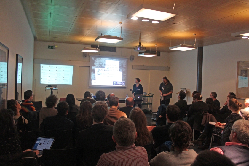
Tom Brindle of the Roman Grey Literature project presenting his paper

After a very nice lunch, I decided to leave the New Approaches to the Romano-British Countryside for a bit, and wandered over to a TRAC session on Romans and Barbarians Beyond the Frontiers: Ideology and Identities in the North. The title of this session drew my interest as a result of the work on the case study area of North Northumberland that I have been doing in recent months, which is of course located at some distance to the north of Hadrian’s Wall. Andrew Gardner of UCL gave a most interesting overview paper, discussing frontier theory and issues of identity with reference to Britain’s northern and western frontiers, emphasising the two-way porous nature of frontiers as well as – again – regional differences between different frontier zones. This was followed by two again most interesting papers by Fraser Hunter and Jacqueline Cahill Wilson, who discussed similar issues with reference to Scotland and Ireland respectively.

After the afternoon coffee break, I returned to the New Approaches to the Romano-British Countryside session. Nick Hodgson and Jeffrey Davies gave two interesting papers looking at the north of England and Wales. Of particular relevance to my own work in North Northumberland were some of Nick Hodgson’s arguments. He drew attention to the prevailing image of an indigenous population in northern Britain, living in isolated upland farmsteads, who continued their lifestyle unchanged into the Roman period, and suggested that this view might be caused by a bias towards upland zones and a relative lack of archaeological investigation in lowland regions. However, since the advent of developer-funded archaeology, more and more investigations in lowland zones are now taking place, and it is becoming evident that rural settlement sites of considerable size and complexity also existed in the north of Britain at this time.

Nick Hodgson and Oxford DPhil student Abi Tompkins  listening to the discussion after the afternoon session
Nick Hodgson and Oxford DPhil student Abi Tompkins listening to the discussion after the afternoon session

The afternoon was concluded by a summing-up by discussant Richard Hingley, who was asked to compare the recent state of play to his 1989 book Rural Settlement in Roman Britain. In line with the evidence presented, Hingley stated how much more complex the picture now is than it had been just before PPG16. He furthermore emphasised the importance of contextualising Roman rural settlement evidence with other types of evidence, such as burials, and by reference to more extended chronologies, which is of course exactly what the EngLaId project – amongst other things! – is doing. It sounds like we are on the right track!
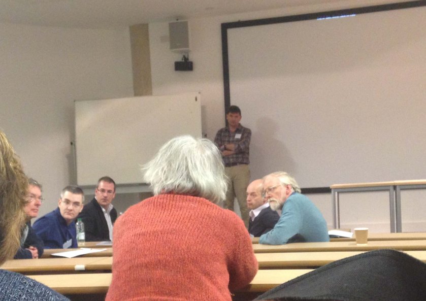
Ben Croxford, Stephen Rippon, Neil Holbrook, Alex Smith and Paul Booth listening to the general discussion following Hingley's summing up
Ben Croxford, Stephen Rippon, Neil Holbrook, Alex Smith, Paul Booth and others listening to the general discussion following Hingley’s summing up

After the day’s official proceedings were over, I discovered to my joy that that evening was also the evening of the conference party, held upstairs at Reading’s Global Cafe.
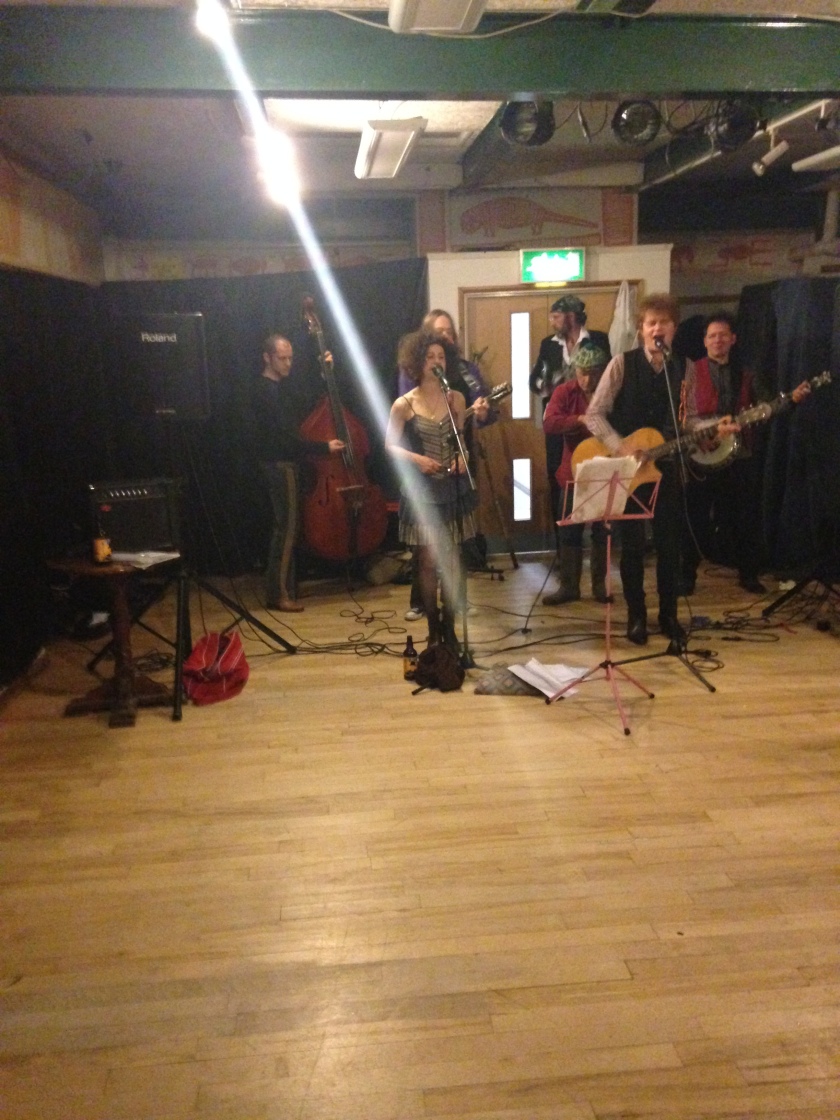
The band at the conference party

There was a truly excellent band, although the dance floor remained fairly empty (at least it was when I left – but who who knows what might have happened afterwards…).
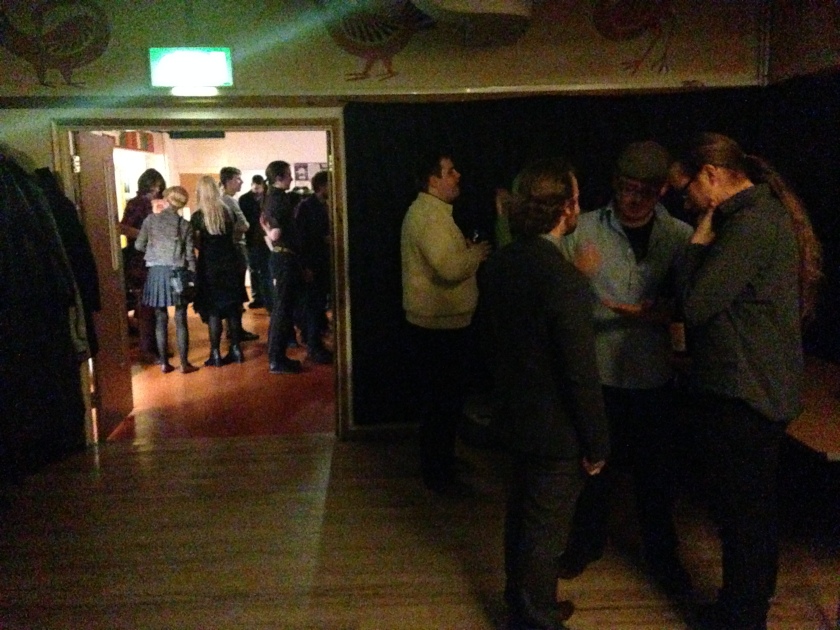
Romanists clustering around the bar

In fact, most of the conference attendees clustered in the room where the bar was located – from which I can only conclude that Roman archaeologists are not that different after all from early medieval ones!

All in all, I had a most excellent day, and regretted not registering for the full duration of the conference. Perhaps next year I will go Roman all the way!

CAA UK 2014

Members of the EngLaID team helped to organise the UK Chapter Meeting of Computer Applications and Quantitative Methods in Archaeology (CAA) this year.  The conference took place in the Pitt Rivers Museum, Oxford, on 21-22 March 2014.  The full conference programme can be found here.

1_GaryLock
Gary Lock welcomes attendees

Following a welcome by Emeritus Professor Gary Lock of Oxford University, who is the current Chairman of CAA International, speakers were heard hailing from a good selection of UK universities and other institutions, including English Heritage and the British Museum.

2_Vicky
EngLaID team member, Vicky Donnelly, presents her research

Amongst this varied and excellent selection of talks, EngLaID DPhil student, Vicky Donnelly, spoke about her research into the role of grey literature in archaeology and what it can enlighten us on.

3_crowd

Feedback on the conference was mostly very positive, with some minor complaints about lack of internet access for non-academic attendees.

4_MarkGillings
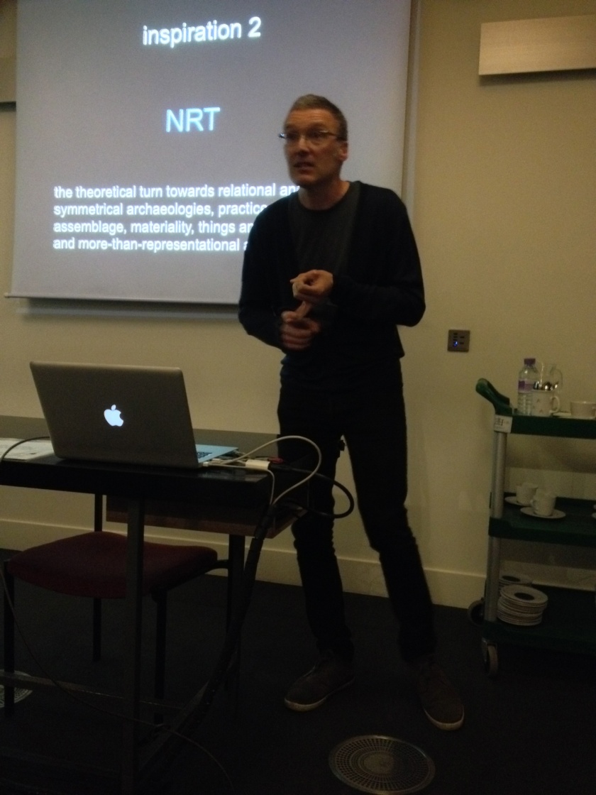
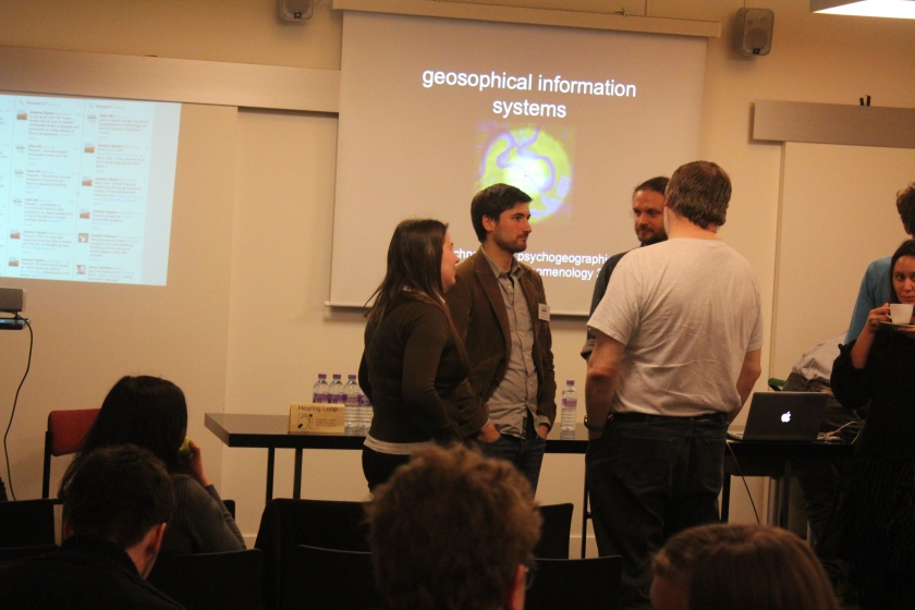
Mark Gillings presents the keynote lecture

Particularly inspiring was our keynote speaker, Dr Mark Gillings.  Mark is Reader in Archaeology at the University of Leicester and a well known figure in the field of archaeological computing.  He gave an excellent lecture on what he terms “Geosophical Information Systems”, which is (I believe) an attempt to reframe archaeological GIS as a more exploratory technique.  Particular resonant with me were his ideas about “shallow but juicy” GIS experiments.

5_crowd

On the Friday evening, a beer reception was held in the Pitt Rivers Museum, which seemed to be thoroughly enjoyed by all who attended.

8_reception 7_reception 6_reception

Amazingly, despite the presence of a large number of archaeologists for two hours, only two-thirds of the beer provided was drunk!  But we made a very good effort.

9_beer
Conference beer ration!

The conference twitter feed can be found here: #caauk14 or storify

Chris Green

PAS ‘affordances’

Building out of the context of Anwen’s recent work on her Isle of Wight case study, we have recently been playing around with sampling biases in the PAS.  This is in very large part based upon the pioneering work of Katie Robbins, who did her PhD and is doing a postdoc on the subject (see references below: Katie’s thesis is available online).

Katie discussed many different relevant factors in her work, but three stood out to us as being particularly suitable for spatial modelling on a national scale: land cover, obscuration, and proximity to known monuments.  Other factors, such as landowner permissions or proximity to detectorists’ houses, would be very difficult to map nationally without a great deal of work.

Land cover: Using a simple reclassification of LCM 2007 data (via Edina Digimap), around 69% of PAS findspots of our period fall upon arable land, c.21% on grassland, c.4% in suburban areas, just short of 3% in woodland, and c.1% in urban areas. Other land cover types each accounted for less than 1% of PAS findspots.  The affordance surface constructed for this category was given a weighting of 1.0 for arable cells, with each other type given a weighting relative to this (e.g. grassland was given a rating of 0.2133/0.6914 or 0.31).

Obscuration: Various other factors should completely block out the possibility of finding artefacts through metal detecting (although other finding methods might still result in discovery, such as finding something sitting on a molehill whilst on a walk). Easily mappable elements that fall within this category are: scheduled monuments (via EH), Forestry Commission land (via the Forestry Commission), ancient woodland, country parks, local nature reserves, national parks, RAMSAR sites, SSSIs (all via Natural England), and built up areas (via OS OpenData).  The affordance surface was constructed by combining shapefiles for all of these elements, calculating the percentage obscuration of 1 by 1km grid cells and then constructing a kriged surface from the centroids of that data with 100x100m cells.  This was then reclassified so that 0.0 was high obscuration (i.e. low affordance) and 1.0 was low (i.e. high affordance).  Incidentally, the South Downs National Park is the one National Park with a relatively high number of PAS finds, as this was only founded in 2011, but I decided not to correct for this at this time.

Proximity to monuments: I undertook a simple spatial concurrence test of 1 by 1km grid cells (via our latest synthesis iteration: see this post for discussion of methodology) of presence of finds against presence of “monuments” (in the broadest sense) of each broad monument class for each of our period categories (e.g. Roman finds vs Roman agriculture and subsistence).  The major areas of concurrence between (broadly) contemporary finds and monuments were with Roman monuments of most types and early medieval monuments of a funerary nature.  Centroids of grid cells containing Roman monuments of most types or early medieval funerary monuments were used to construct a kernel density estimate layer, which was then tested against the PAS distribution for our period.  However, the relationship was not particularly strong, therefore this layer was reclassified so that any value above the first quantile of the surface was given an affordance value of 1.0, with values below that being classified relative to the first quantile.

The relationship between these three derived affordance surfaces and the relevant PAS data was then graphed to see how valid the model appeared.  Each line produces something close to the expected pattern.

biases_graph
Comparison of different PAS affordances, inc. mean of three coloured lines.

Combining the three input factors into a mean averaged model produces a very strong result in terms of spatial patterning.  Looking at the black combined line on the graph, we can see that c.60% of PAS records have an affordance (‘bias on the axis title’) value of over 0.8 and that c.90% exceed 0.6.  This is a strong pattern, showing that areas of high affordance on our map are much more likely to feature PAS finds than areas with low affordance.

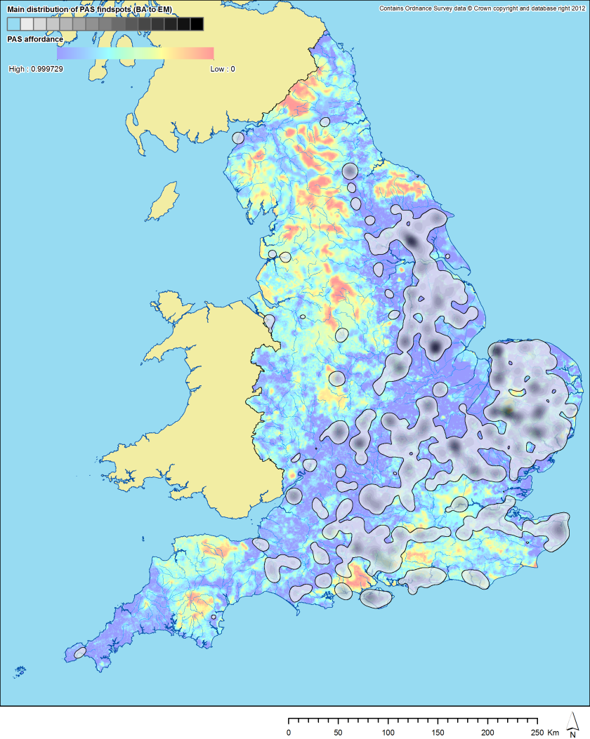
Plotting individual findspots onto the map of this surface shows that most fall within high affordance areas.  We can also see this quite clearly if we plot a kernel density estimate of PAS finds (Bronze Age to early medieval) over the affordance surface (red is low affordance, blue is high), although the interpolation does result in some false overlaps with small areas of low affordance (particularly in East Anglia):

PAS_affordance
Main distribution of PAS finds of our period (Bronze Age to early medieval) over PAS affordances surface.

Two things stand out from this map: (a) that finds cluster in areas of high affordance; and (b) that there are areas of high affordance with few finds.  (a) is an excellent result as it shows that the model is teaching us something valid.  (b) can be explained in several possible ways (most likely a combination of all): differences in detecting practice / differences in reporting practice / the presence of other biases feeding into affordance  but not included in the model.

There are some areas of “double jeopardy” feeding into this model, particularly between the obscuration and land cover layers (e.g. buildings appear in both land cover as urban / suburban and in obscuration; most national parks are of an upland / wild character in land cover).  However, as the pattern seems robust, I am not too worried about this for now.  A more developed model might, instead of the mean average of the three surfaces, be the mean average of the land cover and monument surfaces multiplied by the obscuration surface.  I will experiment with this later, perhaps.

As such, although our model is clearly not perfect (but then, no model ever will be), it does help us to understand something of the underlying affordances helping to shape the distribution of PAS data.  The next stage in this analysis will be to use the affordance surface to try to smooth out variation caused by this factor in our PAS distributions.

Chris Green

References:

Robbins, Katherine.  2013a.  From past to present: understanding the impact of sampling bias on data recorded by the Portable Antiquities Scheme. University of Southampton, Archaeology, Doctoral Thesis.

Robbins, Katherine.  2013b.  “Balancing the scales: exploring the variable effects of collection bias on data collected by the Portable Antiquities Scheme.” Landscapes 14(1), pp.54-72.